Consulting Maps Bundle Template
- Curated by ex-McKinsey & BCG consultants
- 206 fully editable PowerPoint vector maps
- 16 world maps, 135 country maps, 55 US state and counties
- Also available in native Google Slides


Trusted by thousands of teams





Every presentation needs a great looking map
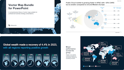
A comprehensive library of vector maps suitable for professional business presentations
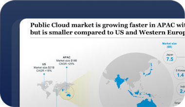
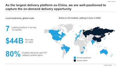
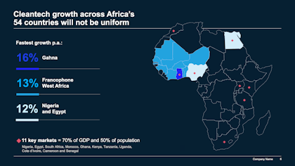
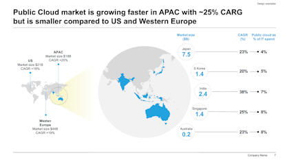
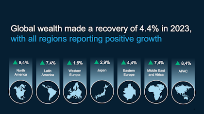
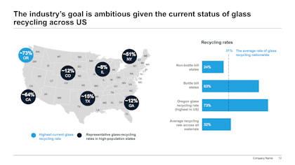
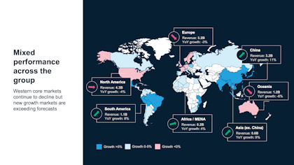
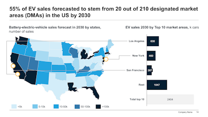
Template includes a library of best-practice map layouts and design inspiration curated by our team of ex-McKinsey & BCG consultants

All maps in the template are vector-based and 100% customizable, as well as much lighter and easier to work with than PowerPoint’s built-in tool
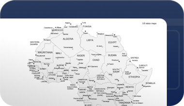
Every map has been drawn by the same team of designers. This keeps the quality consistent across all our maps
Consulting Maps Bundle
What’s inside the Slideworks Consulting Maps Bundle
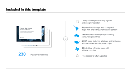
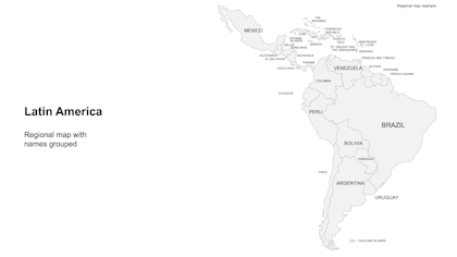
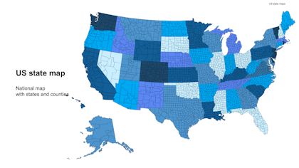
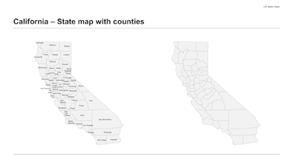
The Slideworks Consulting Maps Bundle is a 230-slide collection containing 206 fully editable, vector-based maps for PowerPoint and Google Slides, created by ex-McKinsey, BCG, and Bain consultants. It includes 16 world and regional maps, 135 individual country maps, and 55 US maps (4 full-country maps plus 51 state maps with editable counties). In addition, it contains examples of best practice map layouts and how to emphasize your key messages using maps.
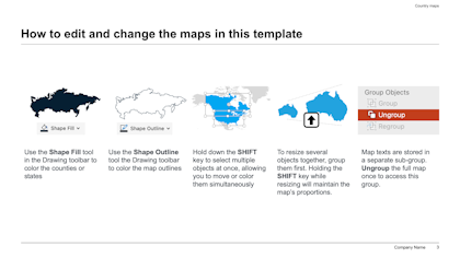
Every map is a vector graphic: you recolor countries, regions, states, or counties directly in PowerPoint or Google Slides, without plug-ins and without the file-size and formatting problems of PowerPoint’s built-in map charting tool or pasting different PNG files. The bundle also includes best-practice map slide layouts showing how consultants present geographic data: market footprints, regional performance, expansion plans, and sales territories.
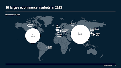
Sales, marketing, and strategy teams typically use the Maps Bundle for territory planning, showing market coverage or expansion, and presenting any analysis where the geography carries the message.
What’s included
| Component | Contents |
|---|---|
| World and regional maps | 16 maps (4 world map types, 12 regional maps) |
| Country maps | 135 vectorized, individually editable country maps |
| US maps | 4 full USA maps + 51 state maps with editable counties |
| Layouts | Best-practice map slide layouts for business presentations |
| Formats | Native PowerPoint and native Google Slides |
Full design control with no hassle

Curated by top-tier consultants


The last PowerPoint map template you will ever need
We have combined all of our maps together into one powerful bundle for building sales and marketing maps in PowerPoint. Each country, region, state, or county can be colored, customized, deleted, or moved around.
Best-pratice map layouts

World and regional maps

Country maps

US State maps with counties

230 PowerPoint slides
The Map Bundle for Powerpoint contains 230 slides and includes a collection of best-practice slide layout developed by ex-McKinsey, BCG, and Bain consultants.


“These templates have been a life saver for me and my team! We used to waste so much time trying to build slides based on old decks or PDFs. This is so much easier and looks much more professional.”
Trusted by 4,500+ customers worldwide


Pay once, use forever
Questions & Answers